Park nearby Park Sector 18C
India
Park nearby Park Sector 18C
Park Sector 18C
1215, Sector 18-C, Sector 18, Chandigarh India
contacts phone
:
+91
Latitude:
30.7307903
, Longitude:
76.7852661
read more
nearest Park
181 m
Preeto Park
Sector 18D, Sector 18, Chandigarh
Park
read more
318 m
Park 7
Sector 21B, Udyog Path, Sector 21, Chandigarh
Park
read more
400 m
Sector 20A - Park
599, Sarovar Path, 20A, Sector 20, Chandigarh
Park
read more
404 m
Park 9
Sector 21B, Sarovar Path, Sector 21, Chandigarh
Park
read more
426 m
Park Number 20A19
Park No. 20A19, Sector 20A, Chandigarh
Park
read more
455 m
Park 5
Udyog Path, Sector 21B, Sector 21, Chandigarh
Park
read more
455 m
Sector 19 D Park
3036 D, Sector 19, Chandigarh
Park
read more
509 m
Kohinoor Park Muslim
515, Madhya Marg, 18B, Sector 18, Chandigarh
Park
read more
622 m
Sector 20A Park
20A, Sector 20, Chandigarh
Park
read more
639 m
Park 10
Sector 21B, Sarovar Path, Sector 21, Chandigarh
Park
read more
670 m
Mini Park - Sector 22B
Udyog Path, 22B, Sector 22, Chandigarh
Park
read more
704 m
Patch Of Grass
18A
Park
read more
758 m
Sector 21A Park
Sector 21A, Chandigarh
Park
read more
864 m
Sector 22B Mini Park 8
22B, Sector 22, Chandigarh
Park
read more
892 m
Park 1
Sector 21A, Jogging Track, Sector 21, Chandigarh
Park
read more
897 m
Park 2
Sector 20A, Sector 21B, Sector 21, Chandigarh
Park
read more
899 m
Sector 21 Park
Sector 21, Chandigarh
Park
read more
934 m
Sector 22B - Mini Park 5
22B, Chandigarh
Park
read more
937 m
Park 4
1405, Himalaya Marg, 22B, Sector 22, Chandigarh
Park
read more
955 m
Park 6
22B, Sector 22, Chandigarh
Park
read more
965 m
Sector 22B Park 10
22B, Chandigarh
Park
read more
986 m
Sector 22B - Mini Park 7
22B, Chandigarh
Park
read more
1.016 km
Green Belt
Sector 17
Park
read more
1.06 km
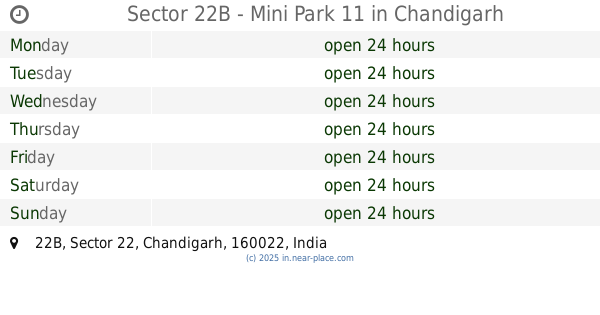
Sector 22B - Mini Park 11
22B, Chandigarh
Park
read more
1.121 km
Sector 21-C Park
3409, Sarovar Path, Sector 21C, Sector 21, Chandigarh
Park
read more
📑
all categories
Accounting
Administrative area level 1
Administrative area level 2
Airport
Amusement park
Aquarium
Art gallery
Atm
Bakery
Bank
Bar
Beauty salon
Bicycle store
Book store
Bowling alley
Bus station
Cafe
Campground
Car dealer
Car rental
Car repair
Car wash
Casino
Cemetery
Church
City hall
Clothing store
Colloquial area
Convenience store
Courthouse
Dentist
Department store
Doctor
Electrician
Electronics store
Embassy
Finance
Fire station
Florist
Food
Funeral home
Furniture store
Gas station
General contractor
Grocery or supermarket
Gym
Hair care
Hardware store
Health
Hindu Temple
Home goods store
Hospital
Insurance agency
Intersection
Jewelry store
Laundry
Lawyer
Library
Light rail station
Liquor store
Local government office
Locality
Locksmith
Lodging
Meal delivery
Meal takeaway
Mosque
Movie rental
Movie theater
Moving company
Museum
Natural feature
Neighborhood
Night club
Painter
Park
Parking
Pet store
Pharmacy
Physiotherapist
Place of worship
Plumber
Point of interest
Police
Political
Post office
Premise
Real estate agency
Restaurant
Roofing contractor
Route
Rv park, camping
School
Shoe store
Shopping mall
Spa
Stadium
Storage
Store
Subpremise
Subway station
Supermarket
Synagogue
Taxi stand
Train station
Transit station
Travel agency
University
Veterinary care
Zoo
administrative area level 3
sublocality level 1
sublocality level 2
sublocality level 3
↑