Park nearby Ramakoti Plaza
India
Park nearby Ramakoti Plaza
Ramakoti Plaza
5th Lane, Arundelpet, Guntur India
contacts phone
:
+91
Latitude:
16.303016
, Longitude:
80.440389
read more
nearest Park
199 m
Kakani Pundarikakshudu Park
4th Lane, Old Pichikala Gunta, Arundelpet, Guntur
Park
read more
199 m
SRI KAKANI PUNDARIKAKSHUDU MUNICIPAL PARK
4th Lane, Old Pichikala Gunta, Arundelpet, Guntur
Park
read more
430 m
KARUNYA GARDENS
Brodipet, Guntur
Park
read more
433 m
P S R Plaza
4th Lane, Sali Pet, Arundelpet, Guntur
Park
read more
479 m
Nandini Plaza
14th Lane, Arundelpet, Guntur
Park
read more
489 m
MVNR Plaza
4th Lane, Brodipet, Guntur
Park
read more
565 m
Louis Pasteur Garden
Kanna Vari Thota
Park
read more
591 m
Lotus Fountain
Kanna Vari Thota
Park
read more
605 m
Atlas Garden
Kanna Vari Thota
Park
read more
606 m
Buddha Garden
Kanna Vari Thota
Park
read more
647 m
Brodipet Park
Brodipet, Guntur
Park
read more
661 m
Kolli Sarada Park
6th Lane, Brodipet, Guntur
Park
read more
692 m
First Mayers Park
6/13 Brodipet, Guntur
Park
read more
831 m
SLN Plaza
Amaravathi Road, Potti Sri Ramulu Nagar, Srinagar Colony, Guntur
Park
read more
1.019 km
Gayatri Plaza
Koritepadu Road, Lakshmipuram, Ashok Nagar, Guntur
Park
read more
1.068 km
Lumbhini Vanam
R and B Quaters
Park
read more
1.137 km
Ac Plaza
Naidupet, Guntur
Park
read more
1.145 km
Paradise Plaza
Koritepadu Road, Koritepadu, Guntur
Park
read more
1.151 km
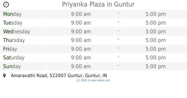
Priyanka Plaza
Amaravathi Road, Vishnu Nagar, Koritepadu, Guntur
Park
read more
1.222 km
Municipal Park
Postal Colony, Guntur
Park
read more
1.277 km
Sanjeevaiah Nagar Park
Rajiv Gandhi Nagar, Mallikarjunpet, Guntur
Park
read more
1.291 km
Gandhi Park
Grand Trunk Road, Sambasiva Pet, Guntur
Park
read more
1.375 km
Krishna Plaza
Nagarjuna Sagar Rd, Nagarampalem, Guntur
Park
read more
1.438 km
Koritepadu Park
Lakshmipuram
Park
read more
2.057 km
Sampath Nagar Municipal Park
Sampath Nagar, Guntur
Park
read more
📑
all categories
Accounting
Administrative area level 1
Administrative area level 2
Airport
Amusement park
Aquarium
Art gallery
Atm
Bakery
Bank
Bar
Beauty salon
Bicycle store
Book store
Bowling alley
Bus station
Cafe
Campground
Car dealer
Car rental
Car repair
Car wash
Casino
Cemetery
Church
City hall
Clothing store
Colloquial area
Convenience store
Courthouse
Dentist
Department store
Doctor
Electrician
Electronics store
Embassy
Finance
Fire station
Florist
Food
Funeral home
Furniture store
Gas station
General contractor
Grocery or supermarket
Gym
Hair care
Hardware store
Health
Hindu Temple
Home goods store
Hospital
Insurance agency
Intersection
Jewelry store
Laundry
Lawyer
Library
Light rail station
Liquor store
Local government office
Locality
Locksmith
Lodging
Meal delivery
Meal takeaway
Mosque
Movie rental
Movie theater
Moving company
Museum
Natural feature
Neighborhood
Night club
Painter
Park
Parking
Pet store
Pharmacy
Physiotherapist
Place of worship
Plumber
Point of interest
Police
Political
Post office
Premise
Real estate agency
Restaurant
Roofing contractor
Route
Rv park, camping
School
Shoe store
Shopping mall
Spa
Stadium
Storage
Store
Subpremise
Subway station
Supermarket
Synagogue
Taxi stand
Train station
Transit station
Travel agency
University
Veterinary care
Zoo
administrative area level 3
sublocality level 1
sublocality level 2
sublocality level 3
↑