Restaurant nearby Kohinoor Family Restaurant Veg & Non-Veg
India
Restaurant nearby Kohinoor Family Restaurant Veg & Non-Veg
Kohinoor Family Restaurant Veg & Non-Veg
111/1A, Opp.BT Memorial School, Nr.Lucky Bakery, Main Road, Pimpri, Kalewadi, Rahatani, Pune Indien
contacts phone
:
+91
Latitude:
18.619459
, Longitude:
73.796916
read more
nearest Restaurant
563 m
Spice Affairs Hotel
Sneh Colony Road, Kalewadi, Pimpri-Chinchwad
Restaurant
read more
578 m
poonam bhel & panipuri centre
B/9/1, Bodha nagar, Pimpri Colony, Pimpri-Chinchwad
Restaurant
read more
596 m
Sai Pure Veg
411017, 8/1/8, PCMC Link Road, Bodha nagar, Pimpri Colony, Pimpri-Chinchwad
Restaurant
read more
639 m
The Szechuan Shack
C/12/2,, Hemo Colony Road, Shastri Nagar, Pimpri Colony, Pimpri-Chinchwad
Restaurant
read more
682 m
Hotel Arihant
PWD 1/8, Gaylord Chowk, JN Road, Shastri Nagar, Pimpri Colony, Pimpri-Chinchwad
Restaurant
read more
697 m
Shree Radhakrishna Pure Veg
Tapovan Mandir Rd, Savta Mali Nagar, Colony Pimpri- 411017, Savta Mali Nagar, Pimpri Colony, Pimpri-Chinchwad
Restaurant
read more
701 m
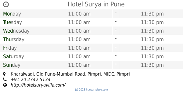
Hotel Surya
Kharalwadi, Old Pune-Mumbai Road, Pimpri, Pune
Restaurant
read more
708 m
Omkar Misal House
Nandadeep Colony, Kalewadi, Pimpri-Chinchwad
Restaurant
read more
715 m
Hotel Karachi Bhavan
Plot No 2/5, Opp Sai Sagar Steel, J.N Road, Pimpri, Pune
Restaurant
read more
842 m
Ambika Lunch Home
Adarsh Nagar, Hedgewar Path, Nandadeep Colony, Kalewadi, Pimpri-Chinchwad
Restaurant
read more
907 m
Hotel Gurudevadatta
Vijay Nagar, Klaewadi Main Road, Hedgewar Path, Vaibhav Colony, Kalewadi, Pimpri-Chinchwad
Restaurant
read more
910 m
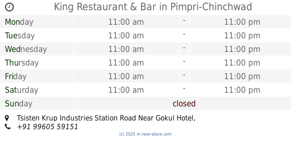
King Restaurant & Bar
Tsisten Krup Industries Station Road Near Gokul Hotel, Pimpri-Chinchwad
Restaurant
read more
1.106 km
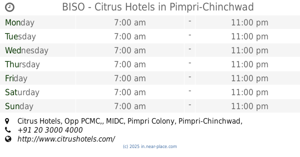
BISO - Citrus Hotels
Citrus Hotels, Opp PCMC,, Pimpri Colony
Restaurant
read more
1.111 km
Aaram Kolhapur Durbar
Pimpri Colony, Pimpri-Chinchwad
Restaurant
read more
1.113 km
Hotel Ratna Veg
2, Shatlejatat Dhandge Path, MIDC, Pimpri Colony, Pimpri-Chinchwad
Restaurant
read more
📑
all categories
Accounting
Administrative area level 1
Administrative area level 2
Airport
Amusement park
Aquarium
Art gallery
Atm
Bakery
Bank
Bar
Beauty salon
Bicycle store
Book store
Bowling alley
Bus station
Cafe
Campground
Car dealer
Car rental
Car repair
Car wash
Casino
Cemetery
Church
City hall
Clothing store
Colloquial area
Convenience store
Courthouse
Dentist
Department store
Doctor
Electrician
Electronics store
Embassy
Finance
Fire station
Florist
Food
Funeral home
Furniture store
Gas station
General contractor
Grocery or supermarket
Gym
Hair care
Hardware store
Health
Hindu Temple
Home goods store
Hospital
Insurance agency
Intersection
Jewelry store
Laundry
Lawyer
Library
Light rail station
Liquor store
Local government office
Locality
Locksmith
Lodging
Meal delivery
Meal takeaway
Mosque
Movie rental
Movie theater
Moving company
Museum
Natural feature
Neighborhood
Night club
Painter
Park
Parking
Pet store
Pharmacy
Physiotherapist
Place of worship
Plumber
Point of interest
Police
Political
Post office
Premise
Real estate agency
Restaurant
Roofing contractor
Route
Rv park, camping
School
Shoe store
Shopping mall
Spa
Stadium
Storage
Store
Subpremise
Subway station
Supermarket
Synagogue
Taxi stand
Train station
Transit station
Travel agency
University
Veterinary care
Zoo
administrative area level 3
sublocality level 1
sublocality level 2
sublocality level 3
↑