Store nearby Nice Sringar Store
India
Store nearby Nice Sringar Store
Nice Sringar Store
Bastacolla, Jharia, Dhanbad India
contacts phone
:
+91
Latitude:
23.7650966
, Longitude:
86.411673
read more
nearest Store
120 m
Ranjan Electronics & Mobile Center
Bastacolla, Ata Chakki, Jharia, Dhanbad
Store
read more
190 m
Sweet Center & General Store
opp mines rescue station bastacola main road, Dhanbad
Store
read more
678 m
Ambey Motors
Jharkhand State Highway 12, Bhagatdih
Store
read more
890 m
Nazma Mobile
ENA Islampur, Bhagatdih, Dhanbad
Store
read more
982 m
K.R.C. Motors Pvt. Ltd.
Bhagatdih More, Jharia, Dhanbad
Store
read more
994 m
Subham Telecom Store
Ena Colliery, Bouripara, Bhagatdih, Dhanbad
Store
read more
1.103 km
Anokhi General & Cigaret Shop
ENA More, Jharia
Store
read more
1.376 km
Jai Maa Gauri Xerox Lamination
Opposite R.S.P. College, Bhagathi, Jharia, Dhanbad
Store
read more
1.616 km
Laxmi Narayan Misthan Bhandar
Anugrah Nagar, Dhanbad
Store
read more
1.706 km
Maa Durga Phonex
Joraphatak, Chandmari Road, Dhansar, Dhanbad
Store
read more
1.927 km
Ram Chander Namken Bhander
Jharia Main Road, Bakar Hatta, Jharia
Store
read more
2.087 km
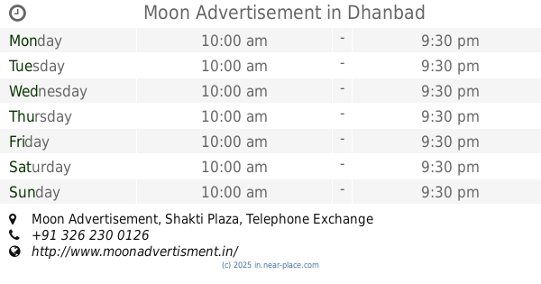
Moon Advertisement
Moon Advertisement, Shakti Plaza, Telephone Exchange Raod, Opp Top Thana, Near Hazara Hospital,, Dhanbad
Store
read more
2.173 km
Manoj Kirana And General Store
Mahavir Mandir, Gandhi Road, Dhanbad
Store
read more
2.424 km
Sahu General Store
Gandhi Nagar, Dhanbad
Store
read more
2.496 km
RAHUL KIRANA STORES
Gandhi Nagar, Dhanbad
Store
read more
📑
all categories
Accounting
Administrative area level 1
Administrative area level 2
Airport
Amusement park
Aquarium
Art gallery
Atm
Bakery
Bank
Bar
Beauty salon
Bicycle store
Book store
Bowling alley
Bus station
Cafe
Campground
Car dealer
Car rental
Car repair
Car wash
Casino
Cemetery
Church
City hall
Clothing store
Colloquial area
Convenience store
Courthouse
Dentist
Department store
Doctor
Electrician
Electronics store
Embassy
Finance
Fire station
Florist
Food
Funeral home
Furniture store
Gas station
General contractor
Grocery or supermarket
Gym
Hair care
Hardware store
Health
Hindu Temple
Home goods store
Hospital
Insurance agency
Intersection
Jewelry store
Laundry
Lawyer
Library
Light rail station
Liquor store
Local government office
Locality
Locksmith
Lodging
Meal delivery
Meal takeaway
Mosque
Movie rental
Movie theater
Moving company
Museum
Natural feature
Neighborhood
Night club
Painter
Park
Parking
Pet store
Pharmacy
Physiotherapist
Place of worship
Plumber
Point of interest
Police
Political
Post office
Premise
Real estate agency
Restaurant
Roofing contractor
Route
Rv park, camping
School
Shoe store
Shopping mall
Spa
Stadium
Storage
Store
Subpremise
Subway station
Supermarket
Synagogue
Taxi stand
Train station
Transit station
Travel agency
University
Veterinary care
Zoo
administrative area level 3
sublocality level 1
sublocality level 2
sublocality level 3
↑